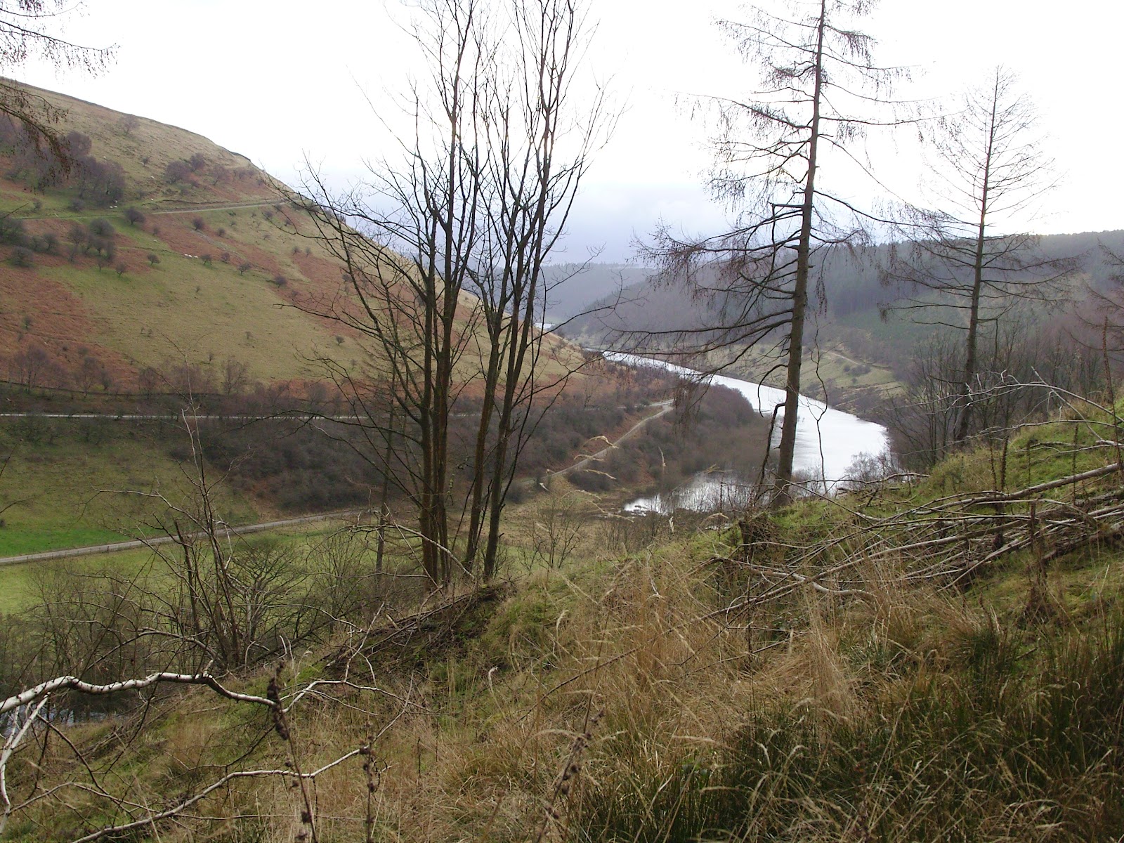
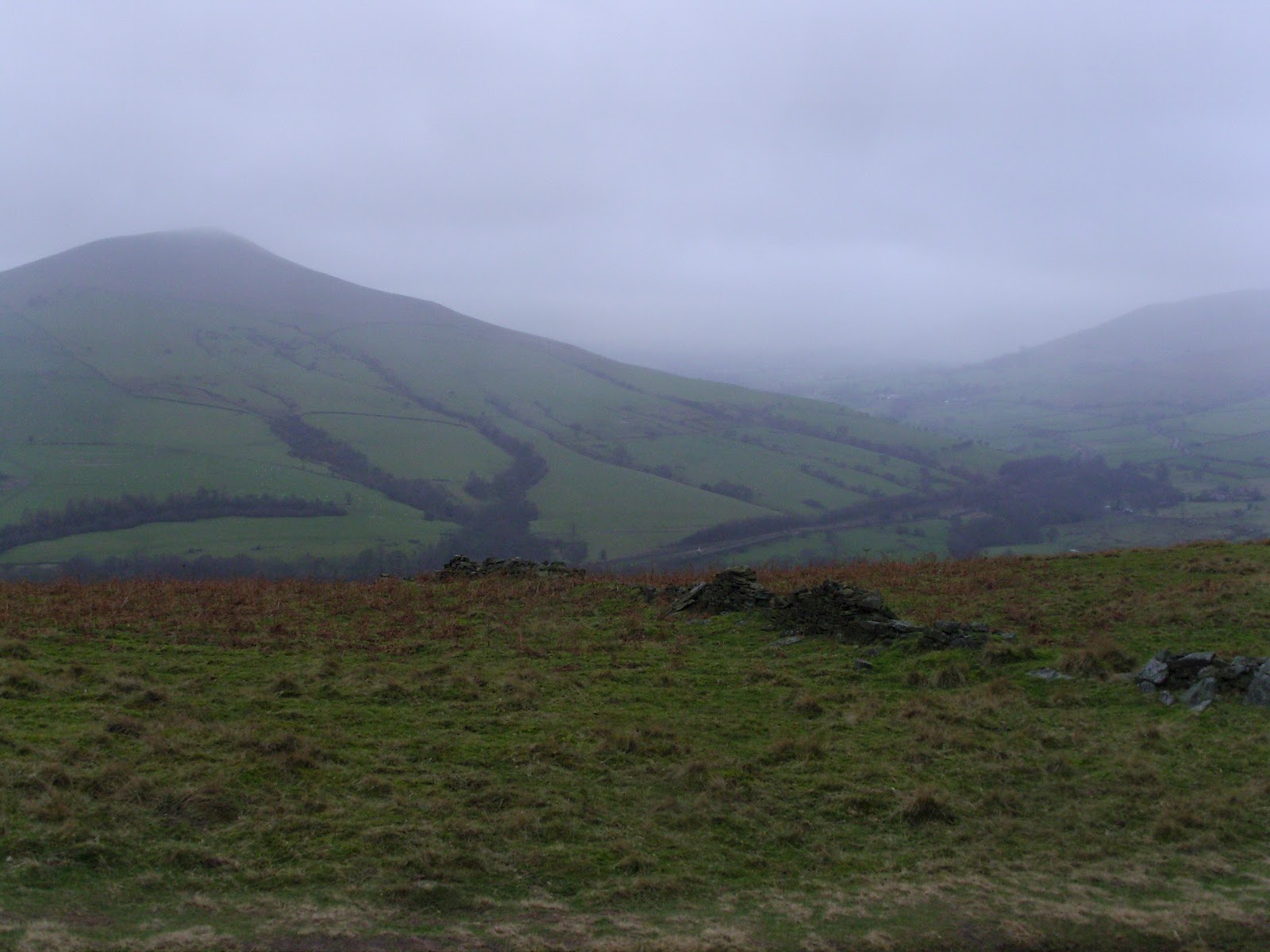
My challenge preparations unfortunately lack much hill work which I am sure to pay for when it is crunch time. I am putting the distance work in though and my next post will be a full write up of my latest backpacking outing involving some East Anglian stealth camping. For now, here is a taster...
Showing posts with label backpacking. Show all posts
Saturday, 7 April 2012
Thursday, 12 January 2012
Never be afraid to change your plans Pt.2...
So where did we leave it last time? Oh yes, I was awash with whisky and spaghetti bolognaise by Ladybower...
So we were both awake before dawn, but the first hints of light were beginning to materialise to the northeast. The pocket rocket was fired up and a brew on the go within a few minutes. Breakfast was one of those flapjacks that you will have seen on an earlier blog. Not great, but the chocolate chips helped. Black coffee always helps to kickstart me in the morning, in more ways than one, so a trip to the wilderness toilet was had. The turf was replaced and a huge rock placed over it to ensure it didn't escape. I resisted taking a photo - some things are best left unrecorded.
Today we had decided to walk the shore and join the road at the Ashopton Viaduct which would take us around to the westernmost point of Ladybower. After the shoreline section, the road was not pleasant, although the A57 was thankfully very quiet with it being early on a Sunday.
I think my wife must have been praying, because the teawagon on the A57 was there, open and a steaming cup of tea was ready for us to purchase. A smashing chap runs that wagon - and I urge you to stop by if you are driving through. Some nice fellas were in front of us, be-gaitered and ready to go off hiking. One of these men appeared addled, and was clearly confused that he had lost something, but was making no sense when I questioned him. He was ushered away by his 'pal' who I asked what he had lost - he too said he didn't know. We came to the conclusion that he had some form of dementia. That thought stayed with me and troubled me for a while after we left the lay-by.
After being caught short again, I had to catch up with Den who had walked on slowly ahead. Every time I looked up - he looked back over his shoulder, and started running off. This he did about a dozen times, until I finally caught up with him. How we laughed.
The road section, despite seeming endless, was not and we crossed the bridge in the Woodlands Valley, just to the north of Hope Cross on the OS map. There was a slight uncertainty as to which was our path onto Win Hill - our main target for the day. A short walk ahead confirmed there were no other paths to take and that, coupled with the fact that Len's Path was clearly signed as a route onto the Roman Road, removed any doubt that this steep and dirty trail was the one we should take.
Occasionally we saw dirt-bikers, all of whom Den asserted were off-duty superbikers having a day of fun. In fact I think we saw all of the following according to Den:
- British Superbike
- World Superbike Champion
- MOTO GP Champion
- TT Champion
- Eddie Kidd
- Evil Knieval
Each of these were on their DT50's with muddied out number plates. I resisted the urge to stop them for their autographs. Didn't want to bother them on their days off.
The initial distasteful appearance of Len's Path (now known to me as Den's Path) gave way to a really lovely route which became so at what appeared to be a small settlement at around SK164867. For some reason I failed to take a photograph here, but I couldn't quite work out what these places were other than long deserted homes. I wondered if the owners might have been cleared as in the Highlands.
From these mysterious steadings the path leads through dense conifer plantation (which may or may not confirm my clearance wondering). Despite my having a real dislike for dense conifer plantation, the path was a joy to walk, being sheltered from the wind and full of atmosphere. Punctuated with lush and verdant grassy clearings to the southwestern side, this latter section of ascent eased off in steepness as we gained the ridge.
The ridge took us by surprise for it was substantially broader than we expected. The Roman Road section was largely easy walking and this was borne out by the myriad Sunday walkers in trainers and bomber jackets that materialised shortly after we popped out above the conifer line.
The views over to Kinder were fine at first, but Mother Nature seemed to have her felt pens out and quickly coloured everything to the west in grey. She spared us for some time along this never-ending, long tongue of a hill. It was a lovely place to be and I felt like I could have walked along it for hours. I'd say from the point where we joined it, to the summit rocks, was around 2.5 miles of loveliness.
There was a varied, sandy terrain of neatly grazed grass, interspersed with tussocks of tougher grasses, and heather in places. There were several pits which dotted the top of the spur-like plateau and we wondered what they might be. Evidence of open-cast mining - but of what? Sink holes? We remain clueless.
The highest point is marked by Hope Cross which seems to have had its top stone removed and all that remains is the upright and a metal spike where the top stone once rested. At least that is what I can glean from a quick Google search. I might have been looking at the wrong marker post I suppose(?). Anyone got any better info?
After a brief spell of more closed in mist, the air cleared and the winds got up to full strength for the first time so far, the air being compressed on the prominent summit rocks of Win Hill itself. We'd looked across to this pointy top some ten years earlier and vowed to 'do' it one day. We never expected it to take us 10 years. I suppose the Munros and Wainwrights got in the way.
The summit moment was poignant, but brief due to the gale-force battering we were getting so we set off downwards for a steep and very careful descent to Yorkshire Bridge.
Although a fabulous setting, the conditions underfoot were less than fabulous - ankle deep mire most of the way. And folk were coming uphill in shiny white trainers! I should add that a good many of them were not smiling.
My trusty Fizan poles had had a good outing and continued to prove themselves by making this descent far less troublesome with them in hand.
So we were both awake before dawn, but the first hints of light were beginning to materialise to the northeast. The pocket rocket was fired up and a brew on the go within a few minutes. Breakfast was one of those flapjacks that you will have seen on an earlier blog. Not great, but the chocolate chips helped. Black coffee always helps to kickstart me in the morning, in more ways than one, so a trip to the wilderness toilet was had. The turf was replaced and a huge rock placed over it to ensure it didn't escape. I resisted taking a photo - some things are best left unrecorded.
Today we had decided to walk the shore and join the road at the Ashopton Viaduct which would take us around to the westernmost point of Ladybower. After the shoreline section, the road was not pleasant, although the A57 was thankfully very quiet with it being early on a Sunday.
I think my wife must have been praying, because the teawagon on the A57 was there, open and a steaming cup of tea was ready for us to purchase. A smashing chap runs that wagon - and I urge you to stop by if you are driving through. Some nice fellas were in front of us, be-gaitered and ready to go off hiking. One of these men appeared addled, and was clearly confused that he had lost something, but was making no sense when I questioned him. He was ushered away by his 'pal' who I asked what he had lost - he too said he didn't know. We came to the conclusion that he had some form of dementia. That thought stayed with me and troubled me for a while after we left the lay-by.
After being caught short again, I had to catch up with Den who had walked on slowly ahead. Every time I looked up - he looked back over his shoulder, and started running off. This he did about a dozen times, until I finally caught up with him. How we laughed.
| Looking back down the Woodlands Valley over to Ladybower |
| Len's Path, that's Den by the way, not Len |
- British Superbike
- World Superbike Champion
- MOTO GP Champion
- TT Champion
- Eddie Kidd
- Evil Knieval
Each of these were on their DT50's with muddied out number plates. I resisted the urge to stop them for their autographs. Didn't want to bother them on their days off.
The initial distasteful appearance of Len's Path (now known to me as Den's Path) gave way to a really lovely route which became so at what appeared to be a small settlement at around SK164867. For some reason I failed to take a photograph here, but I couldn't quite work out what these places were other than long deserted homes. I wondered if the owners might have been cleared as in the Highlands.
From these mysterious steadings the path leads through dense conifer plantation (which may or may not confirm my clearance wondering). Despite my having a real dislike for dense conifer plantation, the path was a joy to walk, being sheltered from the wind and full of atmosphere. Punctuated with lush and verdant grassy clearings to the southwestern side, this latter section of ascent eased off in steepness as we gained the ridge.
| The coniferous tube of Den's Path |
The views over to Kinder were fine at first, but Mother Nature seemed to have her felt pens out and quickly coloured everything to the west in grey. She spared us for some time along this never-ending, long tongue of a hill. It was a lovely place to be and I felt like I could have walked along it for hours. I'd say from the point where we joined it, to the summit rocks, was around 2.5 miles of loveliness.
There was a varied, sandy terrain of neatly grazed grass, interspersed with tussocks of tougher grasses, and heather in places. There were several pits which dotted the top of the spur-like plateau and we wondered what they might be. Evidence of open-cast mining - but of what? Sink holes? We remain clueless.
The highest point is marked by Hope Cross which seems to have had its top stone removed and all that remains is the upright and a metal spike where the top stone once rested. At least that is what I can glean from a quick Google search. I might have been looking at the wrong marker post I suppose(?). Anyone got any better info?
| Den on the Roman Road - summit bound |
| Some you Win. Lose Hill from Win Hill |
| Grass, Heather, Sand, Erosion, Mist, and Den |
The summit moment was poignant, but brief due to the gale-force battering we were getting so we set off downwards for a steep and very careful descent to Yorkshire Bridge.
| Den in his lovely new Spyder jacket. The armed guards weren't far away on account of its ludicrous value. |
| Me at the Trig - you'll not believe the number of times that Garmin knocked me on the head. Note to self - reposition next walk. It didn't even get switched on! |
My trusty Fizan poles had had a good outing and continued to prove themselves by making this descent far less troublesome with them in hand.
We regained our knees for a spell at Yorkshire Bridge and I phoned home with a quick progress report whilst Den caught his breath with a much needed roll-up. Nuthatches were shouting in the trees above us and as if to tease us, remained disguised by their silhouettes or hidden by the boughs. A little way up the lane all manner of small songbirds erupted from the trees by the road and my eyes scanned for the cause. In that moment the culprit, a male sparrowhawk, burst empty-handed from a bramble and flew off along the line of trees. Doubtless cussing the wasted energy. There's usually a moment like this on our walks, a real treat.
The next couple of miles along the peakland lanes were a bit of a slog, but I enjoyed getting into the rhythm with my poles. I paused often to suck up the views down over Bamford, I remember thinking that it was a shame it would soon be over.
Shortly before we reached the parking spot at Dennis Knoll - a honeypot for Stanage climbers - Den noticed the car, stile a mile or so away. It was a welcome sight, and given that I couldn't see any bricks supporting the axles, I was all the more pleased.
We slumped into the car, checked the map for a while, scouting a pitch for the night, and headed down into Hathersage to fill the tanks and resupply. After driving about looking for suitable spots to camp close to the road, we decided that we'd head for the North Lees campsite and pitch there. It was a little soggy, the facilities were clean and serviceable - although the lights in the loos seemed to be switched off overnight and only came on after dawn - go and figure that one out. Oh, and there was no cold water either. Bear this in mind if you are thinking of staying.
Therein lies the tale of my first bit of backpacking in what seemed like an age. How quickly one can get back into the groove. Quite apart from the fact that our initial route plan was dumped on day one, we had a great walk, a good wild camp, and a memorable weekend outside.
I hope you enjoyed reading this as much a I did recording it.
| Finishing where we started, beneath Stanage Edge. |
Wednesday, 28 December 2011
2011 - The Year of No Wild Camps
I aim to keep this brief - from a backpacking point of view 2011 was indeed the year of no wild camps. Not one!
I got out into the hills a bit, and went for a few local walks but wild camps were a-none. Some of the walks have been posted on this blog and you may have already read them. My youngest son Ashley was born in January, when my eldest daughter Hope was just 20 months old. To leave my wife with these little ones, and to leave them too, has been difficult and would have been more selfish than my conscience would allow. Not to mention the fact that the funds required for a weekend of free-of-charge walking are increasing with every percentage point the chancellor slapped on a couple of pints of diesel.
I managed to get a myself involved in a charity walk around the Yorkshire Three Peaks which was a challenge for sure, but not so much so as it might have been a decade ago. The event itself repulsed me but I had a view to get my two good pals - soon to be first-time parents - into the hills a couple of times before the wee one was to arrive. It worked, and I hope that it won't be too long before they are all back on the trail, big-wheeled buggy in tow. No wilderness night under silnylon here.
And I got up to Cumbria to help Den finish off his Wainwright round in September too. That was a couple of brief dashes on a very wet weekend which although satisfying, and salubrious, and a tad drunken, didn't involve any camping in the hills.
Many a local (for local, read East Anglian) walk was enjoyed, long mornings in the field margins, bridleways and studlands. Many a prime stealthy overnight spot was surveyed. None were used. I arrived home after each, refreshed and wonderfully tired, as every walk I take leaves me, but my still became low, and today I think I reached the valley bottom.
The period of Christmas soaked through me and dripped out the other side, most of it I enjoyed and the rest I endured. The lack of outdoors time had me selfishly grumpy. Itchy. Tetchy. Unpalatable.
My wife came to the rescue today. She gave me the most fantastic gift that the whole of the festive season failed to provide. 4 passes for overnighters leading up to TGO Challenge 2012.
About 18 months ago I began reading about TGO Challenge, and after a time, the gravitational pull of the associated blogosphere and mostly the compulsion created by Bob Cartwright, Andy Howell and Shirley Worral on their podcasts had me posting my application the moment it landed on my doorstep. I got number 17 on the standby list, and in a week or so I will find out if that number has reduced.
I am assured that this number will reduce sufficiently so as to ensure a place on the Challenge and I am planning as if it were so, as you will have seen if you follow my post both here, on Twitter and occasionally on the Challenge message board.
In her gift, my wife has provided the liberation of days and nights outdoors. One in Jan, One in Feb, One in March and One in April. Each will involve at least a single night in the cocoon of my Tarptent and grant me the tiny fix of the wilds that I have discovered I need to remain buoyant in spirit. Doug Scott could not have put it more eloquently when he was asked why he climbed 'because I get grumpy when I don't'. What a lucky boy I am!
So, out with the old. 2011 - The Year of No Wild Camps. And in with the New. 2012 - The Year of the Challenge.
I'll leave you with a couple of photos which bring back fond memories of 2011 as it seems is customary among similar pages. I hope you like them, and I look forward to seeing you on the hills this year, and maybe on the Challenge too.
| The Langdale Pikes from Blea Tarn |
| Enroute to Buttermere - Rannerdale Knotts in the middle-distance |
And one of my favourites from 2010 as well - I couldn't resist. Happy New Year!!!
![]() |
| 2010 - My pal Den climbing up Allt Clach nan Taillear in July!! |
Tuesday, 13 December 2011
18.... ....14.3.... ....150
I went on a walk today.
Last night I packed up my rucksack with everything. That's it - everything that I planned to take on TGOC 2012 with me. I weighed it and no matter how many ways I hung it from the luggage scales it was HEAVY - 18kg!
18 is just a number after all so I thought it best to test the number on the trail. So I got my walking machine pal Den out of his box, dusted him off and we headed into the East Anglian countryside once more. Day one on the challenge for me will be at worst a 15-miler so I thought I had better do a bit of a comparison. I roughed out a circular route from Kirtling which was about that - 14.3 miles if you are interested.
At 0730h I picked Den up and we drove to our start point, parking just outside some houses in Kirtling village itself, wanting for a better spot to leave car, but the side of the road it had to be. It was cold, and the wind didn't make it any better.
I forgot to take any pics on the first section of this walk, but I managed to drag the camera out of its pouch as we entered some paddocks. Here is an uninteresting shot, but it is a shot of where we walked nonetheless.
My pack felt very heavy on my shoulders, and my back was protesting. Not a good sign, but I persevered.
The paddocks finally allowed us to squeeze from their grip and we popped out into the open. Den was sporting a very nice bobble hat which he assured me was keeping him very warm. It's one of those hats that is so wrong, it was swinging back to being right again. A real hum-dinger.
My pack was still feeling heavy, and not all that comfortable. I made some adjustments, and it instantly felt better. I forgot about it for a while, which was a better sign.
Some shenanigans with OFFICIAL PATH EXTINGUISHMENTS got our goats up a wee bit - as is increasingly typical with the footpaths round our way. The signs only seem to be obvious on the side from which we are NOT approaching! Nevertheless a quick alteration to our route allowed the new footpath to spit us out onto the road about half a mile back from our intended point. Cussing the now extended road section, and moaning about the failed promise of wild animals (see photo below) we marched on regardless through the lanes until the little green sign showed us back to the field margins, and on to Back Street where we stopped for an early bite to eat, and a brew.
If I have a favourite place to walk in East Anglia, it has to be the narrow hedgerow-lined avenues. Wooded either side, and leafy underfoot at this time of year - lovely.
Shortly after we set off, we agreed to make a note of the wild camping opportunities that we came across during the day. These little avenues offered the greatest opportunity, and we knew that in summer we would be able to nip into the spinneys and copses to camp unnoticed by passers by. In total, we counted six great spots in fourteen miles, plus a couple of questionable pitches, which would go at a push. Not a bad result and worth noting for those of you who live near the National Parks but want to try a long-distance walk somewhere completely different. I recommend it thoroughly having done several myself. So long as you are canny, considerate, covert and stealthy and are willing to hang around until dusk before you pitch, and can be away at dawn, all will be well.
We managed few wildlife encounters, with raptors leading the count, seconded by winter thrushes and then finches. Several Buzzards, a couple of Kestrels, and a Sparrowhawk followed by countless Fieldfares and Redwings in the treetops. The finches were mainly Goldfinches and they decorated the bare twigs like Christmas trinkets. One such tree had its own female Bullfinch bauble. Lovely.
A muntjac was the only mammalian offering of the day (other than the Grey Squirrel but I don't count those - I am a mammal snob, you see).
The pack became awkward again, and this time no amounts of adjustment would alleviate the discomfort. Luckily we had reached the latter stages of our route and we had by now swapped the tacky dough of clay for grassy verge and back-road. Much easier from a navigational point of view, it offered a glimpse at some of the more opulent properties that speckle the rural lanes of our county.
I can summarise that my legs and feet were tickety-boo with forty pound on my back. My shoulders weren't really as tender as I had expected, but my back felt compressed. I put this down to the fact that I couldn't get the belt tight enough on the pack to stop it sliding down my hips. The result was to transfer all of the weight onto my shoulders. The straps are really good on the pack, so the shoulders were unharmed, but my back really felt it. I'm not relishing the thought of a few days with so much weight bearing down on me. My plan now is to get the pack weight down once more. If any of you have any ideas I'd be grateful to hear your views on how you go about packing.
Maybe I should post the gear list as I had it on this day?
At least I have 150 days left in which to get this right!
Last night I packed up my rucksack with everything. That's it - everything that I planned to take on TGOC 2012 with me. I weighed it and no matter how many ways I hung it from the luggage scales it was HEAVY - 18kg!
18 is just a number after all so I thought it best to test the number on the trail. So I got my walking machine pal Den out of his box, dusted him off and we headed into the East Anglian countryside once more. Day one on the challenge for me will be at worst a 15-miler so I thought I had better do a bit of a comparison. I roughed out a circular route from Kirtling which was about that - 14.3 miles if you are interested.
At 0730h I picked Den up and we drove to our start point, parking just outside some houses in Kirtling village itself, wanting for a better spot to leave car, but the side of the road it had to be. It was cold, and the wind didn't make it any better.
I forgot to take any pics on the first section of this walk, but I managed to drag the camera out of its pouch as we entered some paddocks. Here is an uninteresting shot, but it is a shot of where we walked nonetheless.
| Some paddocks not far from Kirtling |
The paddocks finally allowed us to squeeze from their grip and we popped out into the open. Den was sporting a very nice bobble hat which he assured me was keeping him very warm. It's one of those hats that is so wrong, it was swinging back to being right again. A real hum-dinger.
| Bobbles, and a Spyder |
Some shenanigans with OFFICIAL PATH EXTINGUISHMENTS got our goats up a wee bit - as is increasingly typical with the footpaths round our way. The signs only seem to be obvious on the side from which we are NOT approaching! Nevertheless a quick alteration to our route allowed the new footpath to spit us out onto the road about half a mile back from our intended point. Cussing the now extended road section, and moaning about the failed promise of wild animals (see photo below) we marched on regardless through the lanes until the little green sign showed us back to the field margins, and on to Back Street where we stopped for an early bite to eat, and a brew.
| Wild Animal? |
| Me having tea. |
Shortly after we set off, we agreed to make a note of the wild camping opportunities that we came across during the day. These little avenues offered the greatest opportunity, and we knew that in summer we would be able to nip into the spinneys and copses to camp unnoticed by passers by. In total, we counted six great spots in fourteen miles, plus a couple of questionable pitches, which would go at a push. Not a bad result and worth noting for those of you who live near the National Parks but want to try a long-distance walk somewhere completely different. I recommend it thoroughly having done several myself. So long as you are canny, considerate, covert and stealthy and are willing to hang around until dusk before you pitch, and can be away at dawn, all will be well.
| One of those wood-lined paths, wildcamping opportunities aplenty. |
A muntjac was the only mammalian offering of the day (other than the Grey Squirrel but I don't count those - I am a mammal snob, you see).
The pack became awkward again, and this time no amounts of adjustment would alleviate the discomfort. Luckily we had reached the latter stages of our route and we had by now swapped the tacky dough of clay for grassy verge and back-road. Much easier from a navigational point of view, it offered a glimpse at some of the more opulent properties that speckle the rural lanes of our county.
| Another shot of our only real pause for relaxation. |
| Me and my burden, er bergen? |
At least I have 150 days left in which to get this right!
Friday, 18 November 2011
1 in 420+
That's what I was.
I found my fate today by both letter and a leak on the challenge forum. Ok so not exactly a leak as it was a post from John Manning himself.
I was one of the 420+ people to find out that I am on the standby list.
I had prepared myself for disappointment, expecting not to get on but I have to say I was strangely close to tears. It was odd, I guess despite openly and outwardly readying myself for the possibility of a 'No' I already had book my place. In truth, I fully EXPECTED to get on and not getting on was a complete surprise.
I have lit the tinder of a few new friendships which I hoped to fuel in the coming months, which I can and will still do. BUT I WANTED TO GET A 'YES'.
I had promised my wife, who really wasn't cherishing 2 weeks without me (although I would have thought she would have had the opposite reaction), that I would withdraw from the standby list. But I just couldn't resist asking John 'Outdoors' Manning where I stand on that list, so that is what I have just done.
I don't know what I will do with the number, I suppose it depends what number it turns out to be.
I do have a plan to finish off my round of Wainwrights - I should be able to do 62 in a year if I make a few concerted forays so that is what I plan to do with 2012.
But what if I am number 1, 2, 3......10, 11, 12 on the list?
Thursday, 20 October 2011
204...
...days to go until TGO 2012.
The suspense is becoming difficult to bear. It's great to read some of the accounts of 2011 which are popping up on Twitter and throughout the blogosphere, and if you haven't checked out http://www.doodlecat.com/ then I suggest you do right away. What a smashing little TGOC portal it is. It is currently serving as a great way to fill the time spent waiting for the nod from Mr J Manning at Challenge HQ.
I was trying to get a message to Mick/Gayle of Gayleybird Lejog & K2CW fame as it seems as though they walked almost exactly the same route as I have worked out for TGOC next year and I wondered about some of the do's and don'ts on the way. If anyone can get a message to them, I would love for one of them to get in touch so I could pick their brains a wee bit. Perhaps they have a twitter name or something?
Alan Sloman has been helpful on the first night's intended camp for me, citing Meallan Bhuidhe as a spot with good views, and a lot of deer! He also suggested that the area near Pait Lodge might be a good and common spot to pitch, with the usual courtesy to be afforded to the occupants.
It's stuff like that that I obsess about when planning these sorts of trips. Yet when I listen to, or read the things that the likes of Chris Townsend write / say about long journeys on foot, and the very flexible plans they make, letting the walk make the decisions etc, I am very envious. I guess that I should obsess less about the detail, and just make sure that I cover a minimum distance each day to ensure that I don't take too long getting to the East coast. I've got to get into that really long distance vibe.
I still can't stop thinking about it - it's a big thing for me, the longest walk - although probably not the most demanding - that I will have attempted by a factor of 2, and I am anxious and excited in equal measure.
When do we find out if we are in again???
Be great to hear if any of you have any anxieties about the challenge, its planning, anticipation etc.
Bye for now.
The suspense is becoming difficult to bear. It's great to read some of the accounts of 2011 which are popping up on Twitter and throughout the blogosphere, and if you haven't checked out http://www.doodlecat.com/ then I suggest you do right away. What a smashing little TGOC portal it is. It is currently serving as a great way to fill the time spent waiting for the nod from Mr J Manning at Challenge HQ.
I was trying to get a message to Mick/Gayle of Gayleybird Lejog & K2CW fame as it seems as though they walked almost exactly the same route as I have worked out for TGOC next year and I wondered about some of the do's and don'ts on the way. If anyone can get a message to them, I would love for one of them to get in touch so I could pick their brains a wee bit. Perhaps they have a twitter name or something?
Alan Sloman has been helpful on the first night's intended camp for me, citing Meallan Bhuidhe as a spot with good views, and a lot of deer! He also suggested that the area near Pait Lodge might be a good and common spot to pitch, with the usual courtesy to be afforded to the occupants.
It's stuff like that that I obsess about when planning these sorts of trips. Yet when I listen to, or read the things that the likes of Chris Townsend write / say about long journeys on foot, and the very flexible plans they make, letting the walk make the decisions etc, I am very envious. I guess that I should obsess less about the detail, and just make sure that I cover a minimum distance each day to ensure that I don't take too long getting to the East coast. I've got to get into that really long distance vibe.
I still can't stop thinking about it - it's a big thing for me, the longest walk - although probably not the most demanding - that I will have attempted by a factor of 2, and I am anxious and excited in equal measure.
When do we find out if we are in again???
Be great to hear if any of you have any anxieties about the challenge, its planning, anticipation etc.
Bye for now.
Sunday, 18 September 2011
153 down, 62 to go?
Ok, so once again, not quite a TGO Challenge post, but it all counts towards the physical preparations.
The huge magnetic pull
of Lakeland had me rolling up the A1 on Friday 16th
September 2011 on what was to be a couple of brief forays onto the
mountains culminating in the crowning of my best pal as a completer
of the Wainwright summits.
Pulling in to the car
park of the Co-Op in Keswick, a slightly built chap, going by the
name of Dennis Taylor was sitting by his backpack having arrived on
foot from Ulverston. His original plan to hike the Cumbria Way
before meeting up with me had required a little alteration. Nature
wasn't on its best behaviour; Hurricane Katia had a modicum of
maelstrom left in her when she touched the UK and this resulted in a
small catalogue of digital images of other people's tents bent double
against the force of the winds.
Low pressure reigned
supreme over the Westernmost coast of England, Scotland and Wales and
it seemed that it was hell-bent on curtailing Den's first attempt on
the relatively sedate Cumbrian long-distance path. The end of day
two saw Den in Langdale, waiting for a day of better weather after
having a rather moist and squelchy couple of outings. The day of
better weather wouldn't manifest until four days later! He chose to
sit it out in Langdale, rather than going over Stake Pass and on to
Keswick via Langstrath.
This turned out to be a
sound decision, as Den watched his peers' inferior shelters being
ripped from the ground, tattered and torn, in spite of the gallant
attempts of the staff at the ODG Camp-site, he wondered what might
have been had he gone over the tops that day. His Vaude Ultralight 2
stood firm (well, it flexed a little) and kept the outside where it
should be – outside.
I was completely
without contact with him, there being no signal in Langdale, often a
blessing, but on this occasion I did worry after not hearing from him
for a couple of days. And then I got a text message:-
“Still stuck in
Langdale. Took bus to Ambleside for food. 70mph over tops. Haven't
slept for two nights. Have abandoned c.way this time. Walk or bus to
Keswick for Fri.”
Sure enough, there he
was, looking surprisingly fresh despite the battering. I packed his
Berghaus C7 Bioflex into the boot, slammed the tailgate and pointed
the car towards Borrowdale. We were bound for Den's penultimate
Wainwright top – Rosthwaite Fell. He'd been up it before but an
administrative anomaly (ahem), had him erroneously ticked off the
peak before returning home and discovering that he'd missed the
actual Wainwright summit at 612m. When he realised, he immediately
resolved to go back and climb it again, making sure that he climbed
to Wainwright's prescribed peak.
After parking down a
tiny lane just out of Rosthwaite, we headed up the hill across open
fell in the general direction of Tarn at Leaves, where we would turn
right to our targetted top. This we did and after a bit of casting
about in the mist we scrambled over the rocks to the highest point –
Rosthwaite Fell. I then mentally ticked off my 152nd
Wainwright and shook Den's hand as he hurried off the hill, to regain
some visibility. We returned to my car inside of two hours, ready
for the drive round to Eskdale.
We went on past our
campsite at Boot, which had assumed a rather sodden appearance from
the days of rain. A vehicular struggle up the hairpins of the
Hardknott Pass, with as little wheel spin as possible, delivered us
to the uppermost car parking spot for our 'dash' up the final summit
of Den's journey through the Pictorial Guides.
When I write “dash”
I actually mean to write “languid wander” for we took a slow walk
over the waterlogged, yet still discernible path past the first,
lower summit and over the brow until our goal came into view.
Hard Knott was chosen
as Den's last when we were on Whin Rigg on an earlier outing.
Appearing pyramidal, dark and forboding, Hard Knott struck a chord
that would ring in his mind for the next, however many months and
however many fells until, well, now.
The winds – which had
been light until this moment – began to build, strengthen, in some
kind of symbolic resistance. They ensured that we pay greater
attention to our final steps toward the summit cairn. By the time we
were within striking distance of my 153rd top the wind had
become more than a light gale. Den was unperturbed and turned about
– the gusts had caused his eyes to moisten, possibly – and gave
me an hombre's embrace. I shed a tear, and reciprocated the hug
before Den reeled and kissed Hard Knott's summit cairn.
His ten-year assault
was completed.
Postscript:
Those of you who are
more astute than myself, which amounts to probably all of you, may
have noticed that there is an error in my assessment of the number of
fells I had summited. For the height of Wainwright's Rosthwaite Fell
(Bessyboot) is in fact 550 or possibly 551m above sea level. The
highest point on the broader fell is at 612m and is not the summit to
which Mr W refers. In my haste to agree with my good pal, I failed
to spot that he had in fact climbed his 213th wainwright
months earlier, and had no need to return to correct the 'error'.
More irritatingly for me perhaps, I had just climbed to the wrong
summit, meaning that I must return to climb it another day!
Let's make that 152 for
me then, shall we?
Labels:
backpacking,
bessyboot,
boot,
hard knott,
hardknott pass,
hurricane katia,
lake district,
lakeland,
outdoors,
rosthwaite fell,
wainwright
Location:
Hard Knott
Sunday, 11 September 2011
Sunday Suffolk Woodland Stroll
I finally managed to squeeze in an afternoon in the countryside today. It's more about not letting the family down these days. I can't go off gallivanting when there's work to do leaving the good lady to look after the two little rotters, can I?
Well today I had a pass, to stretch my legs a wee bit in readiness for a jaunt in the fells in the next week or so. I was convinced to go with my brother-in-law to do a little walk that I love around Moulton, near Newmarket in Suffolk.
I have to say that I do love the hills, and mountains, and valleys, and gorges etc etc, but I can't ignore the treats in my back yard. Suffolk has some of the biggest skies around, with genuinely pleasing, smoothly rolling swells of fields and ancient woodland. My walk around Moulton, Dalham and Gazeley fitted this description perfectly.
The walk is only about 6 or 7 miles, so perfect for a afternoon outing. The setting at Moulton is quite endearing, with a 14th century packhorse bridge in pristine condition taking pride of place at the middle of this little village.
We had a few wildlife encounters, as we always seem to do on these country walks. A small, young hedgehog crossed the road - we didn't ask him why - but we carefully lifted, and placed the prickly parcel on the other side of the lane to save any squashing by vehicles.
I stopped to take a look at some vines hanging from the bough of an Ash tree which completely covered the bough, and a Tawny Owl burst out from the centre of the foliage straight towards me, over my head, circled beneath the canopy and then flew off through the woodland. My first daytime Tawny encounter - and a good one too.
The last wild rendezvous was a simple one, a common toad crossed our path. That's it. She was a lovely one, young and bright - like she had just been unwrapped. I couldn't resist picking her up for a closer look. I began to get all philosophical about her, so I brought myself round and let her hop off into the undergrowth.
I noticed on the walk through the Dalham Estate that every single large tree on the path was marked with a red plastic tag which had been hammered into the trunk at about eye level. The tag had a five-digit number with the letters PRN printed beneath in white.
None of the trees away from the path had any numbers or tags, and I pondered what they might signify. I wondered if they were navigation marks for the Estate's woodland managers allowing them to pinpoint other trees by using these as reference points. I'd be glad to hear from anyone who can add any suggestions.
The winds were getting up and rain was threatening to dampen our thus far dry afternoon out. Hurricane Katia was making noises that she might start battering Britain's Western coasts and counties. On went the Montane Featherlight jacket to shrug off the looming rainfall. The changes in the weather seemed to add to the atmosphere of the walk. After just a spattering of fat droplets, the rain had passed us by and the sun began again to shine. The last mile of road walking was a bit of a shame, particularly given the cracking woodland surroundings we had just been moving through. There was a silver lining to the macadamed cloud - The King's Head.
One pint of IPA down the hatch, and back to the village hall where our car was parked, via a huge box of Bramley's that was left outside a house beckoning "please help yourself". We'd clocked the apples on the way out and made a note to collect some on our return.
They were all gone.
___
http://www.moultonsuffolk.co.uk/index.html - a bit about Moulton - try the Kings Head!
http://www.dalham.com/ - a bit about Dalham
http://www.onesuffolk.co.uk/GazeleyPC/ - a bit about Gazeley
http://greatbarrowchallenge.co.uk/ - a fantastic challenge through the Suffolk countryside (including Gazeley)
Well today I had a pass, to stretch my legs a wee bit in readiness for a jaunt in the fells in the next week or so. I was convinced to go with my brother-in-law to do a little walk that I love around Moulton, near Newmarket in Suffolk.
I have to say that I do love the hills, and mountains, and valleys, and gorges etc etc, but I can't ignore the treats in my back yard. Suffolk has some of the biggest skies around, with genuinely pleasing, smoothly rolling swells of fields and ancient woodland. My walk around Moulton, Dalham and Gazeley fitted this description perfectly.
The walk is only about 6 or 7 miles, so perfect for a afternoon outing. The setting at Moulton is quite endearing, with a 14th century packhorse bridge in pristine condition taking pride of place at the middle of this little village.
We had a few wildlife encounters, as we always seem to do on these country walks. A small, young hedgehog crossed the road - we didn't ask him why - but we carefully lifted, and placed the prickly parcel on the other side of the lane to save any squashing by vehicles.
I stopped to take a look at some vines hanging from the bough of an Ash tree which completely covered the bough, and a Tawny Owl burst out from the centre of the foliage straight towards me, over my head, circled beneath the canopy and then flew off through the woodland. My first daytime Tawny encounter - and a good one too.
The last wild rendezvous was a simple one, a common toad crossed our path. That's it. She was a lovely one, young and bright - like she had just been unwrapped. I couldn't resist picking her up for a closer look. I began to get all philosophical about her, so I brought myself round and let her hop off into the undergrowth.
I noticed on the walk through the Dalham Estate that every single large tree on the path was marked with a red plastic tag which had been hammered into the trunk at about eye level. The tag had a five-digit number with the letters PRN printed beneath in white.
None of the trees away from the path had any numbers or tags, and I pondered what they might signify. I wondered if they were navigation marks for the Estate's woodland managers allowing them to pinpoint other trees by using these as reference points. I'd be glad to hear from anyone who can add any suggestions.
The winds were getting up and rain was threatening to dampen our thus far dry afternoon out. Hurricane Katia was making noises that she might start battering Britain's Western coasts and counties. On went the Montane Featherlight jacket to shrug off the looming rainfall. The changes in the weather seemed to add to the atmosphere of the walk. After just a spattering of fat droplets, the rain had passed us by and the sun began again to shine. The last mile of road walking was a bit of a shame, particularly given the cracking woodland surroundings we had just been moving through. There was a silver lining to the macadamed cloud - The King's Head.
One pint of IPA down the hatch, and back to the village hall where our car was parked, via a huge box of Bramley's that was left outside a house beckoning "please help yourself". We'd clocked the apples on the way out and made a note to collect some on our return.
They were all gone.
___
http://www.moultonsuffolk.co.uk/index.html - a bit about Moulton - try the Kings Head!
http://www.dalham.com/ - a bit about Dalham
http://www.onesuffolk.co.uk/GazeleyPC/ - a bit about Gazeley
http://greatbarrowchallenge.co.uk/ - a fantastic challenge through the Suffolk countryside (including Gazeley)
Subscribe to:
Posts (Atom)